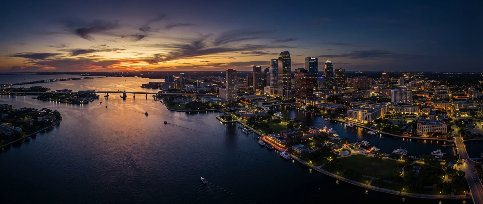
Waterfront homes with private docks along a Tampa canal at sunset, downtown skyline in the distance
Tampa Communities · Davis Islands

Living on Davis Islands.

A 1920s island neighborhood at the mouth of the Hillsborough River, a bridge away from downtown Tampa — with its own village, a yacht club, a public marina, and streets you can walk end to end.

Call Robert(813) 928-6745
  • South Tampa✦
  • Wesley Chapel✦
  • Downtown Tampa✦
  • St. Petersburg✦
  • Clearwater Beach✦
  • Tierra Verde✦
  • Davis Islands✦
  • Hyde Park✦
  • Westchase✦
  • Channelside✦
  • South Tampa✦
  • Wesley Chapel✦
  • Downtown Tampa✦
  • St. Petersburg✦
  • Clearwater Beach✦
  • Tierra Verde✦
  • Davis Islands✦
  • Hyde Park✦
  • Westchase✦
  • Channelside✦
Quick Facts

Davis Islands, at a glance.

Development announced
1924
Islands today (once 3)
2
Residents · 2000 census (latest official count)
5,436
ZIP code
33606
Commonly zoned schools
Gorrie · Wilson · Plant
General-aviation airport
1
The Neighborhood

An island built for exactly this.

Davis Islands was created in the 1920s by Tampa native D. P. Davis, who dredged up the bottom of Hillsborough Bay to enlarge two small natural islands — Little Grassy Key and Big Grassy Key — into a planned residential community. He announced the plan in January 1924 and promised hotels, canals, parks, a golf course, and a business district of its own. Much of that was built before the Florida land boom faded later in the decade.

A century later the bones of that plan still shape daily life: a compact village on East Davis Boulevard, Mediterranean Revival landmarks mixed in with every era of architecture since, a yacht club and marina on the water, and Tampa General Hospital at the island's north end. For buyers who want to be minutes from downtown without living in a tower, it's one of the few addresses in Tampa that works that way.

History & Architecture

Mediterranean bones, every era since.

Davis's company built a first wave of Mediterranean Revival homes, hotels, and apartment buildings before the boom collapsed and Davis himself was lost at sea in 1926. Development slowed in the 1930s, which is why the island today is an eclectic mix — 1920s originals beside mid-century ranches and recent custom builds.

Several original buildings, including the Palace of Florence and the Mirasol, carry historic designation. The Bay Isle Building at 238 East Davis Boulevard, designed by Tampa architect M. Leo Elliott and finished in 1925, still anchors the island's business district.

Daily Life

A village you can walk to.

The East Davis Boulevard village is the island's main street: restaurants, coffee, and everyday shops within a walk or bike ride of most homes. The Davis Islands Civic Association, a neighborhood nonprofit, runs community events and represents residents with the city.

  • Davis Island Yacht Club — a private, member-owned club at the south end with sailboat racing, cruising, and youth sailing
  • Marjorie Park Marina at 115 Columbia Drive, a city yacht basin named for Davis's wife
  • A fenced dog park and dog beach near the south end of the island
  • Waterfront paths popular with runners, walkers, and cyclists
  • Tampa General Hospital on the island's north end
  • Downtown Tampa, the Riverwalk, and Water Street just over the bridge
Homes

What's for sale on the island.

Inventory ranges from restored 1920s Mediterranean homes and mid-century houses on interior streets to newer custom construction and waterfront homes on canals or open bay. Condominiums and townhomes add options for buyers who want the island lifestyle with less upkeep.

Because the housing stock spans a full century, two homes a block apart can differ sharply in elevation, construction standards, insurance cost, and renovation history. The right comparables are rarely just the closest sales — that's where a careful pricing read matters most.

Good to Know

The airport and the water.

Peter O. Knight Airport, a general-aviation field run by the Hillsborough County Aviation Authority, sits on the south end of the island, alongside a seaplane basin. Proximity to the runway is worth considering when you compare homes on that end.

Davis Islands is low-lying land surrounded by water. During Hurricane Helene in 2024, storm surge covered the entire airfield. Flood zone, elevation, seawall condition, and insurance history belong at the top of every buyer's checklist here.

Before You Write an Offer

What I check on every Davis Islands address.

  1. 01

    Elevation & flood zone

    Get the elevation certificate and current FEMA flood zone, and price flood insurance before you make an offer, not after.

  2. 02

    Storm history

    Ask what happened to the home in the 2024 storms — water intrusion, repairs, permits, and any insurance claims.

  3. 03

    Seawall & dock

    On waterfront lots, have the seawall, cap, and dock inspected, and confirm water depth and bridge clearance for your boat.

  4. 04

    School assignment

    Davis Islands addresses are commonly zoned for Gorrie Elementary, Wilson Middle, and Plant High. Confirm the specific address with Hillsborough County Public Schools.

FAQ

Questions about Davis Islands.

Ask me directly →
How far is Davis Islands from downtown Tampa?
It's directly across the water from downtown. The island connects to the mainland by bridge, and downtown, the Riverwalk, and the Channel District are a short drive or bike ride away.
Is Davis Islands walkable?
Much of it is. The East Davis Boulevard village, the waterfront paths, the parks, and the marina are within walking or biking distance of most homes, which is a big part of why people choose the island.
Do I need to be a member to use the yacht club?
Davis Island Yacht Club is private and member-owned. Marjorie Park Marina is a separate city marina, and the parks, dog beach, and waterfront paths are public.
What should I know about flooding on Davis Islands?
The island is low-lying, and recent storms brought surge onto parts of it. Flood risk varies a lot from one home to the next with elevation and construction date, so review the elevation certificate, flood zone, and insurance quotes for each property.
Davis Islands · Next Step

Thinking about Davis Islands?

Tell me how you want to live — on the water or near the village, a renovation or move-in ready — and I'll show you the streets and homes that fit, along with the elevation and insurance details that should shape your offer.

Sources & notes

Community details come from the public sources below. School assignments, association fees, and flood zones are set by address and change over time — verify them for the specific property before contract.